Hiking in the countrysideHiking in the countryside
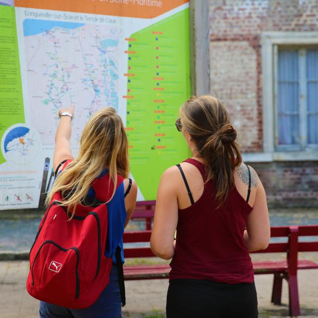
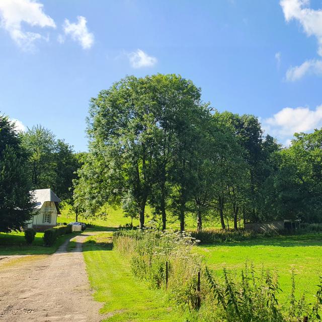
©Walking or cycling route through Brachy|Sma76 A.beauvois

The top of the soft walks

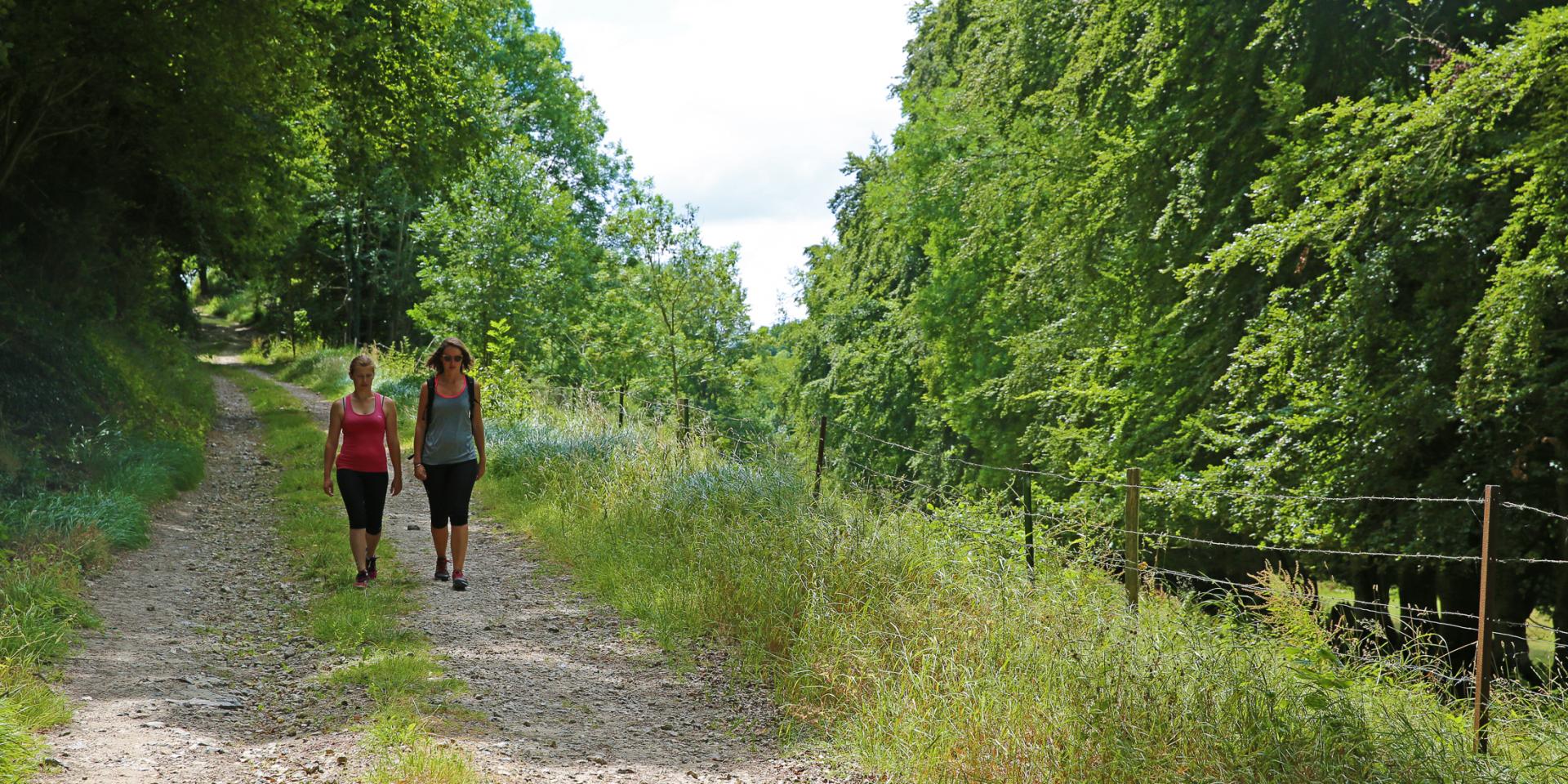
During the confinements of the past years, the outings to air were reduced to one kilometer around his home. The team of the Tourist Office proposed you then some suggestions of walks around the communes of the Terroir de Caux, to take advantage of it. The restrictions are no longer in effect, but gentle walks are still possible, so here is our top of gentle walks!

Departure of Longueville hikesDeparture of Longueville hikes
©At the start of our loops in Longueville-sur-Scie
By the whole team!
#1

Around Quiberville

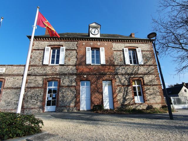
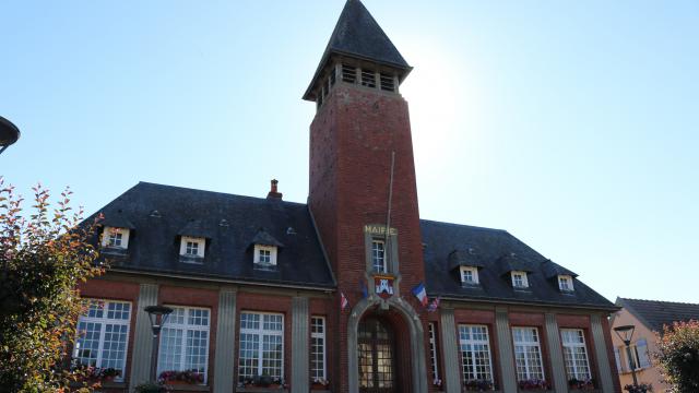
I’m starting from the town hall!”

Proposed route: 4 km

But of course you can adapt your route as you see fit.

Duration: 1 hour


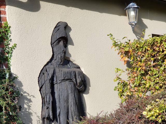
After direction the street of the Imp, we pass next to a wooden statue frozen in the facade of a house.

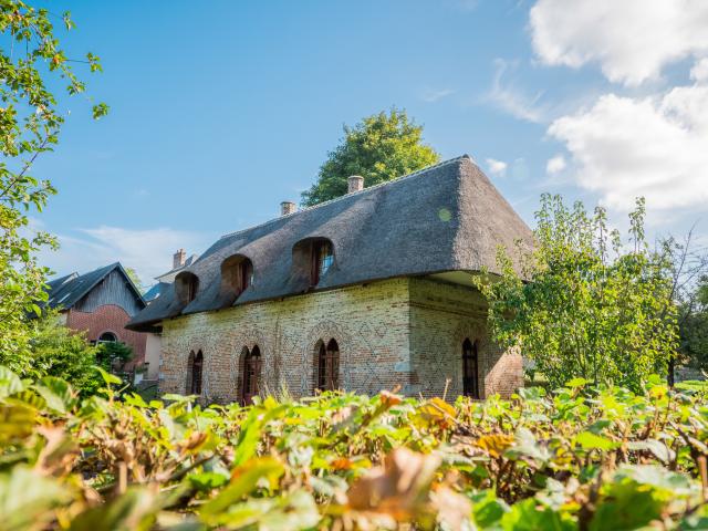
I turn then to the right in the road of the Forge and at the end I cross to take the street of the Old Well! A few cows are spying on us along the roadside and according to you, at the end of Rue du Vieux Puits, what do you find…? An old well, of course! We can see it in the bottom of a meadow, covered with thatch. Deep of 45 meters, it dates from 1649.

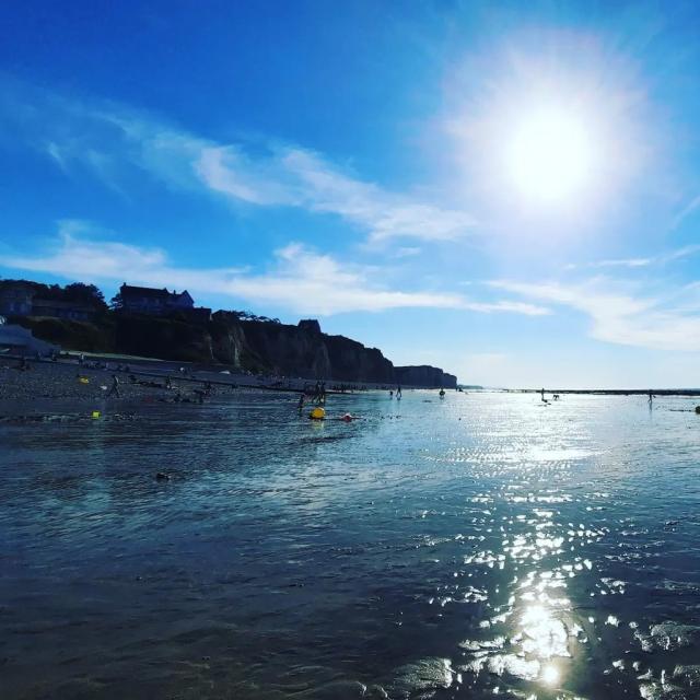
Then, we turn to the right route des Plaines, then at the very end to the left rue du Faux Port. Ah the beautiful blue, one would have almost forgotten that one was in edge of sea! All to the west, we can see Saint-Valéry-en-Caux !

Previously an access to the sea was possible from this street at the end of which was a port that existed since the Middle Ages. This road formerly called the chemin du Petit Port has now totally disappeared as well as the port due to the retreat of the cliff. Records indicate that it was located 1000 meters west of the mouth of the Saâne!”

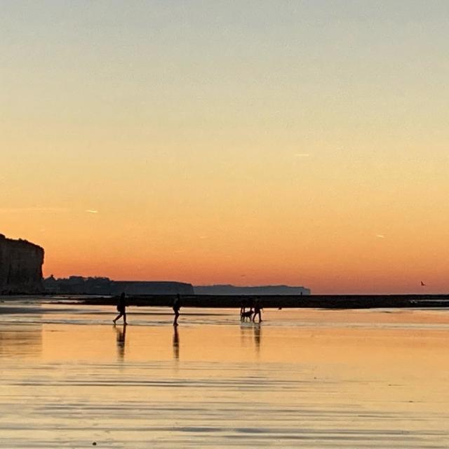
We take a right towards the wind leaning pines, there can be a bit of mud around here. Attention to the slips and the white shoes! After a small hill, we come out of the path onto Rue de la Colline with a beautiful view of the cliffs of Sainte-Marguerite. From here the landscape changes throughout the day depending on the tides!
My background

I take on the left in the district of the flowers, street of the Digitales, street of the Poppies then street of the Ferns and finally street of the Bruyères.
It is of that a century ago this place was almost empty of dwellings, the fashion of the sea baths is going to modify of the whole to the Norman coast! Again a beautiful point of view on the beach since the street of Bruyères and we arrive quickly at the sea! I take the promenade of the sea front up to the stalls of the fishermen and I go down the steps of the esplanade towards the rue de la Saâne. We see from here the numerous seaside villas built at the end of the 19th and the beginning of the 20th century. One goes up the way of the baguenaudiers, that climbs, one passes from 5 to 30 meters of altitude.

Then, one continues the ascent along the road of the sea and one takes to half coast the hamlet Levassor on the left! This neighborhood was built by the wife of Emile-Constant Levassor, automotive engineer who joined Panhard and built the first petrol car.

We go into this small street that ends in a grassy path, then we take the descent to the left and then to the right the small path between the fence and the laurel hedge. One exits road of the Valley to join the town hall!

There, already 4km of traversed and one hour of stroll, it is time to return at home!
#2

Around Eurville

I propose a walk around Imbleville, starting from the church of Eurville, a hamlet of Val-de-Saâne!

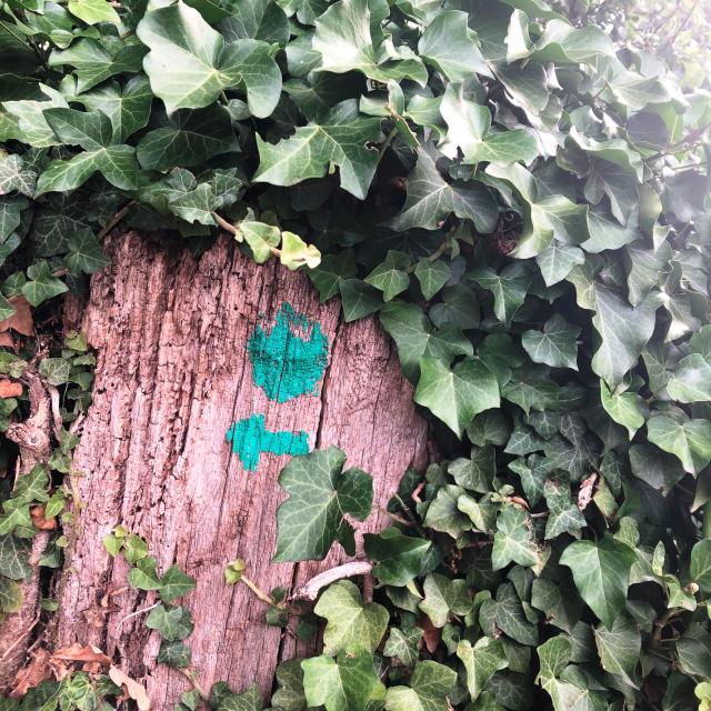
Facing you, admire the charming sandstone church of the 16th century, before taking the Saint-Gilles street on your left, skirting the Holiday Village. Continue straight ahead on the plain road. You are now on the yellow itinerary “From the sources of the Saâne to the Couture”, part of the 24 hiking loops of the Terroir de Caux , of which we will take a small portion on the initial 15km.

.

My background

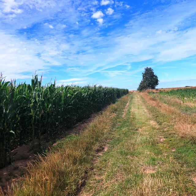
At the end of the plain road, turn right following the yellow markers. You will be able to see the wind turbines of Saint-Pierre-Bénouville, a neighboring town, in the distance. Between cultivated fields, meadows and woods, your walk will be rich in landscapes! Perhaps you will have the chance to cross some inhabitants of the place? Roe deer, hares, rabbits …

At the end of the path, turn left by taking the small path on the edge of the woods. Listen, you will surely hear the Sâane flowing peacefully below.

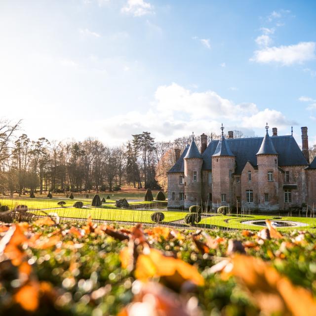
The surprise of the walk, will be on your right. Admire the magnificent castle of Coutûre built over 500 years ago. Known as “The Pearl of the Saâne”, its geographical position allowed it to ensure its defense by the river. The more recent gardens were laid out by the Saint-Rémy family between 1920 and 1950. After this cultural break, continue the path up the course of the river.

You will arrive at a crossroads, at Mont Varin. We will leave the marked route to go left, on the rather steep path. Once you arrive on the plateau, at the crossroads of the paths, take a right. You will recognize the plain path you took on the way out.

You have arrived safely after a 4.8 km hike!

Around Val-de-Saâne

I’ll take you to Val-de-Saâne! Start from the Saint Wandrille church, in the center of the village.

Take the chemin des écoliers also called ruelle de la poste then turn left into rue du Faubourg. Then continue to the right on rue des passereaux and right again to the path that leads to Renieville. This path lined with various crops and apple trees has its charm in every season!

You will now find yourself in front of the company la Saânaise, builder of concrete structures. Turn right towards Belleville-en-Caux and continue your walk to the crossroads then cross the road taking rue de la Fresnay, and turn right onto rue du traversin to Val -de-Saâne, your starting point.

If you have some time left, if you don’t know it, the church is open you can enter and see the Statue of Saint Wilgeforte on a cross from the 16th century, which in the past has given rise to many processions of the sick and has several legends, perhaps you know them!”

My background

#4

Around the collegiate church of Auffay

Let’s begin this walk by walking up Rue du Docteur Féré, the street on the left in front of the collegiate church, then take Rue du Vieux Château, and turn left, into the residence. Here was the old feudal mound, where in the 11th century a fortified castle dominated the town. Today, unfortunately, there is no trace of this building. Continue following the residence, then turn left, then right so as to go up the Rue Isidore Mars. On your way you will come across an old brick building on the left, the chapel of the Leprosarium of Clos Jacquet. The Leprosarium was used in 1139, to keep away the patients affected by leprosy, of this building, only the remains of the chapel remain (do not enter, private property).

Continue in the Rue Isidore Mars, then go up “l’Allée de la futaie ” and enjoy this short walk, in the undergrowth, you can then turn right and then go down the “sentier des écoliers”. Continue straight ahead on Rue Georges Pompidou, you will pass the gymnasium and the village hall, turn at the second left after the gymnasium to join the path of the old slaughterhouse. Then follow this path and reach the Place de la République. There, you will find yourself in front of the house of the park, a pretty bourgeois house dating from the eighteenth century.

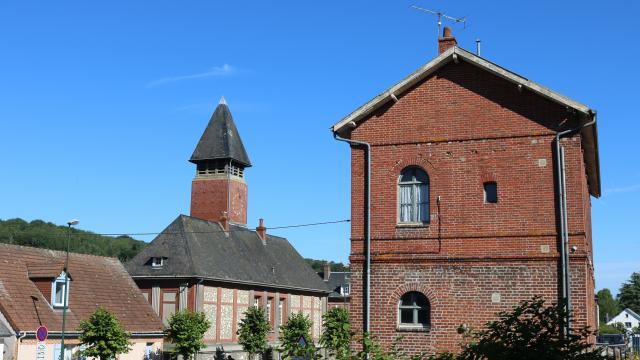
Now you can enter the public garden, Espace Thomas Pesquet, and enjoy a short nature walk, in the green lung of the village. Then, return to the Place de la République by following the railroad line, at the exit of the park, and passing in front of the Auffay train station, in operation since 1847. On your way to the left is the old tan mill, as well as the watering hole located in the street that bears the same name.

You can then walk along the main street going to the town hall. There you can admire the monument to the dead of the First World War, which has its little anecdote: when the Germans were present during the Second World War, they had the helmet of the French soldier removed, not being able to bear to see this soldier crush the German helmet. The soldier found his helmet only at the end of the war!

Now go back on your steps and then turn right in the dead end of the valve, you will meet the Scie, the river that allowed the town to develop economically, from the 13th century. You can walk along the Scie until you reach the Rue Pasteur where you can turn right to reach the Place du Général de Gaulle.

#5

Around Saâne-Saint-Just

Start from Notre Dame Church, in the center of the village.

Take the path from the church to reach the D 149. Turn right and take a look to your left and you will see beyond Chemin des Sources the old Tortillard train station. On your right before the bend in the road, turn right onto the Chemin des Moulins. At the sign that shows you the map of the commune, two possibilities, which I will explain below.

My background

  • Option 1: You turn right at Impasse du Passage à Gué and cross the charming bridge over the Saâne River and see the remains of the old Mill on your left. Enjoy a break at the ford crossing! At the end of the street you will have a small stretch of departmental road to walk along with caution, before joining on the right the church path towards your starting point.


  • Option 2: You continue straight on the Chemin des Moulins, at the place called Le Carel. You will join the departmental road after crossing the communal boundary, and having passed over the bridge that faces the old mill, of which a piece of the wheel is exposed in the garden! At this point you will be in the commune of Auzouville-sur-Saâne. You will then have to carefully go along a small part of the D2 before turning right to take the dead end of the ford and then again the Chemin des Moulins that you took on the way, in order to reach your starting point.


Personally these two small walks are among my favorites on the Terroir de Caux! In fact, it is by these paths that I guide you when I lead one of our guided tours of Sâane-Saint-Just. I am waiting for you for the next ones !

#6

Around Longueville-sur-Scie

Let’s go for a stroll within a one kilometer radius around the town hall of Longueville-sur-scie !

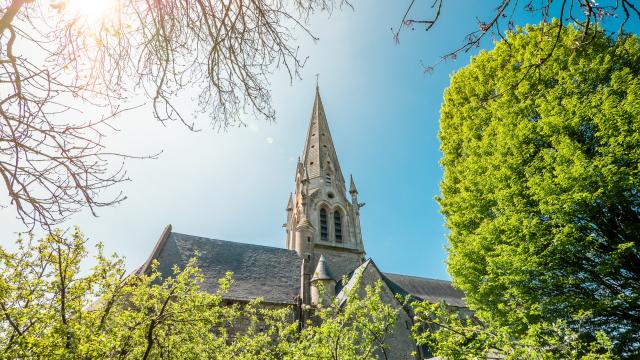
Let’s start this stroll from the town hall of Longueville-sur-scie, go towards Rue Guynemer and at the end, you will turn right. Pass under the Pont-Saint-Pierre and cross the river Scie to reach at the end of the street, on your left, the Saint-Pierre church. This 11th century Romanesque church is dedicated to the apostles St. Peter and St. Paul, it has survived three fires, and has a nave intersected by a transept and a bell tower with a polygonal slate spire. Behind this church you can see a building that was once the girls’ school.

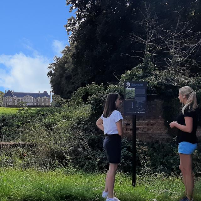
Turn back and continue your way on the D149 road, towards the Crédit Agricole. You will arrive at an intersection: take on your right towards D77. At the new intersection, you will take a left towards the chemin du château. Go up the hill and after a few meters you will find a small path on your right. When you arrive on this path, two paths are proposed to you: the first one, on the right, is more easily practicable with a stroller or with children, otherwise take the second one which is a little more scabrous. In both cases, you will arrive at the Gauthier Giffard castle, whose history you will discover on the interpretation panel installed in front of it.

To continue your walk, pass through the large wooden gate and continue straight ahead. You will find yourself in front of the Jean Malaurie College. Jean Malaurie is a French writer, ethno-historian and geographer born in 1922. In the summer of 1950, he decided to go alone to Greenland for the first time; since then he has participated in more than 30 polar missions in Greenland and Siberia to map these polar regions and study the local populations. In his work he is concerned about the future of the Inuit who have a close relationship with their environment. Today, he is director of studies at the Ecole des Hautes Etudes et Sciences Sociales.

Next, head to the bus parking lot and take the small path on your left. Continue straight until you reach the road, look up and you may meet a goat! Continue straight on Rue Guillaume le Conquérant and at the intersection, take the rightmost road. Go up the hill and you will arrive in front of the cemetery where you will be able to admire a gate that is disproportionate to the size of the cemetery. For the record, this gate is a gift from Mrs. Burtet-Burlet in memory of her son buried in this cemetery.

Warning, the next few meters are perilous, you will go along the hedge on your right to meet the sidewalk on your left, at the level of the housing developments. You continue straight ahead until you reach a parking lot, and you can see at the end of the parking lot a small path which will lead you to the road D149. You will take the crosswalk to join the small path which goes down. Look on your left and you will surely see some deer! At the intersection, at the bottom of the path, take the leftmost path and continue straight ahead, you will arrive on a small iron bridge that spans the Scie, after admiring the view, you will turn right at the end of the path. You will continue straight ahead and take the railroad crossing on your right.

For the final stretch, take a left after the railroad crossing and follow the D3 road. On your way, you can see the new preschool and then a little further on the fire station and the old post office. At the last intersection, you will turn left onto Rue des Anciens Combattants, and pass in front of the old dairy.

In 1925, Charles Gervais bought this building to build a dairy that will be equipped with the most modern tools and machines of the time, it manufactures infant milk, including the brand Galliasec much used by mothers at the time. It is rebuilt in 1956, then the company is accused of degradation of the saw and will be considered as a dilapidated building until its closure in 2007… Continue your way on the Rue du Général de Gaulle: on your left you will see the old boys’ school and on your right the SNCF station. To finish this stroll, join the town hall of Longueville-sur-scie!

My background

Instagram

To your smartphones

Here are our favorite spots for gentle strolls in Terroir de Caux ,
Now all you have to do is draw your phone or camera to share your little walking spots with us!
And don’t hesitate to share it with the hashtag #terroirdecaux!!

Close