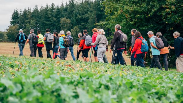
Hikers Chemin Des FrênettesHikers Chemin Des Frênettes
©Hikers Chemin Des Frênettes|Zoë Tirilly
Chemin des FrênettesLoop 20 - 7.5 km

Our favorite hikes: the Frênettes path

The Tourist Office team advises you on its favorite hikes in the Terroir de Caux! Hiking by the sea, along the Gr or our marked out loops in the middle of nature, around the villages or in the countryside, you hesitate in front of the multitude of offers? Our team will help you make your choice!

A multitude of landscapes

Practical information
  • Route : 7.5km
  • Duration : ≈ 2h
  • Scapes encountered : Plain, woods, valley, river, fields
  • Tagging : Pink circles
  • Starting point : Saint-Pierre-Bénouville town hall
ZoëZoë
©Zoë

Among the many possibilities of hiking on the territory, the loop of the Chemin des Frênettes is one of my favorites… You will discover a multitude of landscapes, these landscapes which make the identity of the Terroir de Caux.

Zoë

Follow me

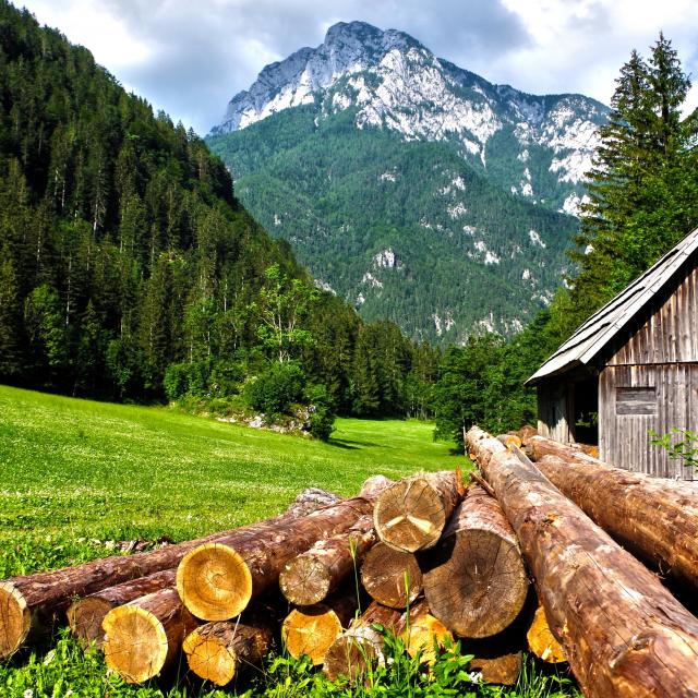
From the plain as far as the eye can see on the cultivated plateaus that change color with each season, woods that allow you to take shelter sometimes from the sun, sometimes from the rain (we are indeed in Normandy), paths along the Saâne River for a stretch along the water and to the sound of nature, and the village of Saint-Pierre-Bénouville, with its two churches, its Pony Club and its Forge Museum (yes, all of that!).

Your background

I’ll take you?

The hike begins on the parking lot of the town hall of Saint-Pierre-Bénouville.

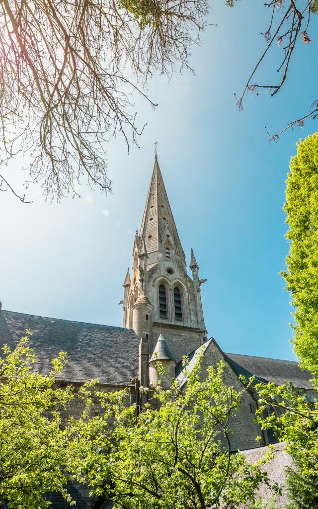
Facing the starting totem, we start the hike straight ahead following the road to the Forge. We will quickly cross the church Saint-Pierre (XVIth – XIXth centuries). Because of the absence of sidewalk, we have arranged some steps to reach the slope on the right side, as indicated by the beacon. Steps that may not be visible between two field maintenance, we apologize, so if you can’t access this embankment, be careful and watch on your left for the beacon that will indicate to turn a few meters away!


Then we’ll follow the Chemin des Frênettes proper


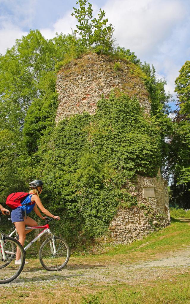
Along the trees on the edge of the plain, a feast for the eyes as the seasons punctuate the crops! One will then descend through Lestanville before taking a right to go along a charming part of the loop, along the coastal river of the Saâne. We will then be on the GR212 hiking trail which, for information, connects Quiberville-sur-Mer to Duclair! It is along this path that we begin to enter the wooded area, dominating from time to time the commune of Val-de-Saâne.

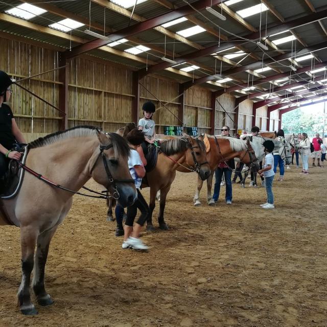
Then follows the small climb through the woods to reach the plain of Dracqueville, the hamlet of Saint-Pierre-Bénouville, from where you will see the wind turbines. The path ends near the church of Dracqueville and the Pony Club “Les écuries de Grâce”. (Good to know: the pony club organizes horseback riding, among others on this loop!)

So, did you enjoy this walk?

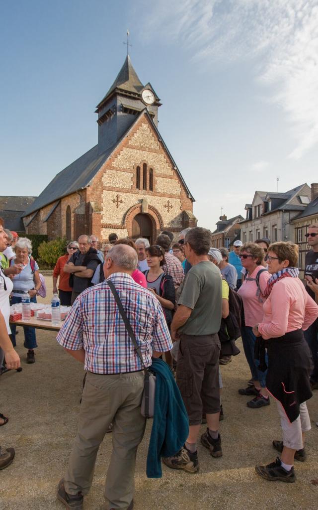
I invite you to try it out in real life and tell us what you think. See you soon on the Terroir de Caux! And if you want to walk with us to discover our loops, it’s every Thursday in July and August that it happens! Ask for the program!

See the Agenda

Itinerary


Close